Computing
Adjusting the Symbology used in ArcGIS 10 map templates
Introduction
This document describes how to adjust the Symbology of the layers used in ArcGIS 10 map templates. You can always obtain the latest version of this document from: http://www.arch.cam.ac.uk/comp/ac104/
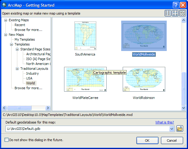
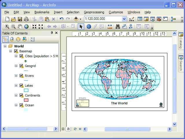
Start a new Project/Map in ArcGIS as usual and choose the template that you desire:
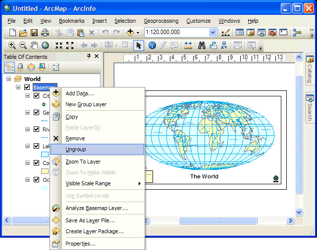
Right-click on the Basemap group where it is listed in the Table of Contents.From the context menu that appears choose Ungroup:
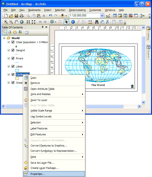
You can now edit the Properties of each layer as usual. For example, to edit the Symbology used to display continents, right-click on its entry in the Table of Contents as usual and from the context menu that appears choose Properties:
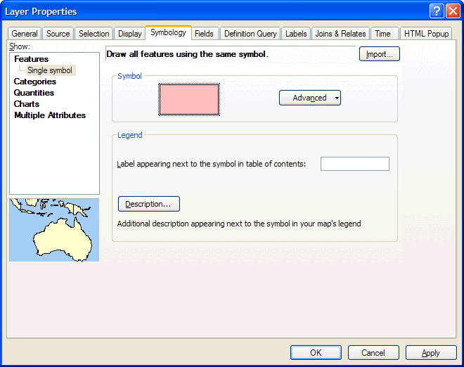
Set the colour, etc as you desire and click OK:
Ta–da:
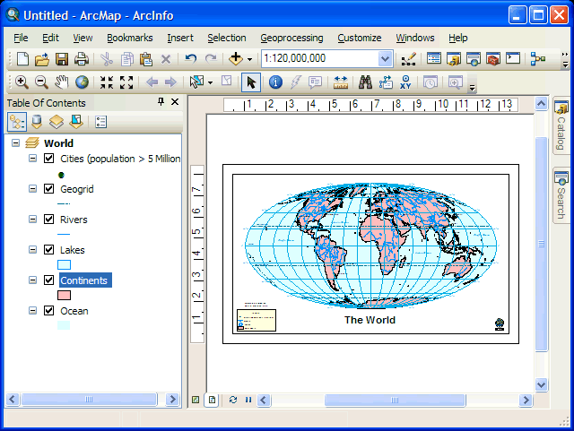
When you have finished changing the colours to meet your needs you can recreate the basemap layer group by right-clicking on the Data Frame name where it is listed in the Table of Contents and from the context menu that appears choose New Basemap Layer:
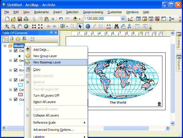
Name the new basemap layer basemap:
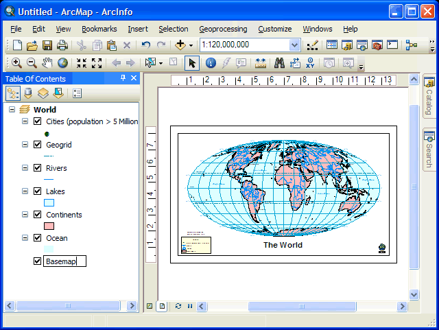
Select all those layers that constitute the base map and then drag them on to the new basemap layer:
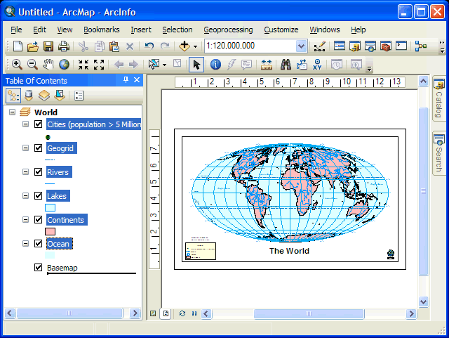
As you were:
If you want to use this modified map as a template go to the File menu and choose Save. Save the document in C:\Documents and Settings\%USERNAME%\Application Data\ESRI\Desktop10.0\ArcMap\Templates
In future you should be able to select your modified template when creating a new Project.
The basemap layer is described at: http://help.arcgis.com/en/arcgisdesktop/10.0/help/index.html#//00s500000017000000.htm
